Ottawa Large Folded Map
- Publisher
- MapArt Publishing Corporation
- Initial publish date
- Nov 2020
- Category
- Atlases
-
Sheet map, folded
- ISBN
- 9781553683933
- Publish Date
- Nov 2020
- List Price
- $5.95
Add it to your shelf
Where to buy it
Description
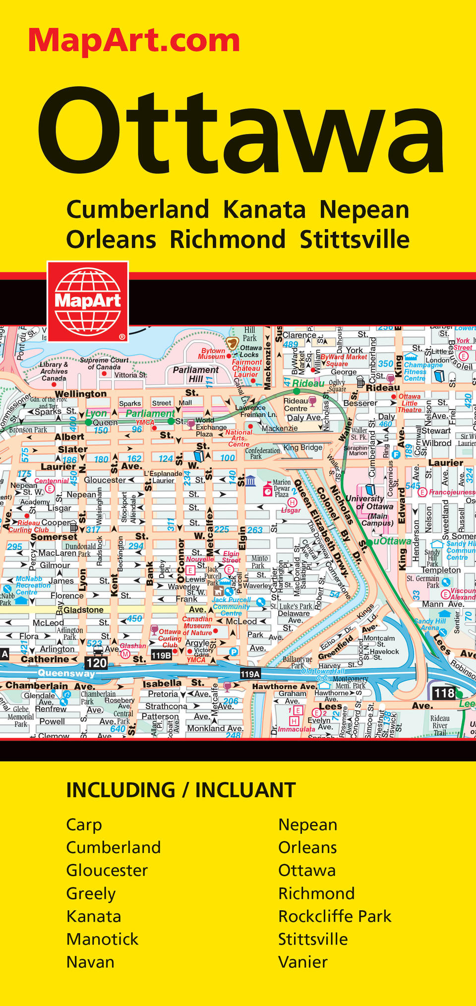
73% bigger than our regular folded maps this folded map of Ottawa includes detailed city mapping of the following communities at 1:25,000: Carp, Cumberland, Gloucester, Greely, Kanata, Manotick, Navan, Nepean, Orleans, Ottawa, Richmond, Rockcliffe Park, Stittsville and Vanier. Also includes a downtown map of Ottawa at 1:15,000 and a regional map at 1:800,000. Includes street indexes of each community, legend and the detailed city mapping has many features including Trans-Canada highway, divided highways, major roads, secondary roads, main thoroughfares, minor streets, lanes / private streets, interchange numbers, one way streets, street address numbers, railways, VIA Rail stations, O-Train and stations, Transitway and stations, bus stations, carpool parking, provincial boundaries, recreation trails, parks / conservation areas, golf courses, commercial areas, cemeteries, institutional areas, industrial areas, special attraction areas, National Defence, hospitals, tourist information centres, police stations, fire halls, municipal / regional buildings, courthouses, libraries, points of interest, off leash dog parks, beer stores, liquor stores, national parks / historic sites, arenas, community / recreation centres, pools, baseball, soccer, tennis, skiing, campground, public and catholic schools. Proudly made in Canada!
Folded: 11.1 x 23.5 cm (4.375 x 9.25 inches) Unfolded: 121.9 x 94 cm (48 x 37 inches)
Provinces/Territories: Ontario


