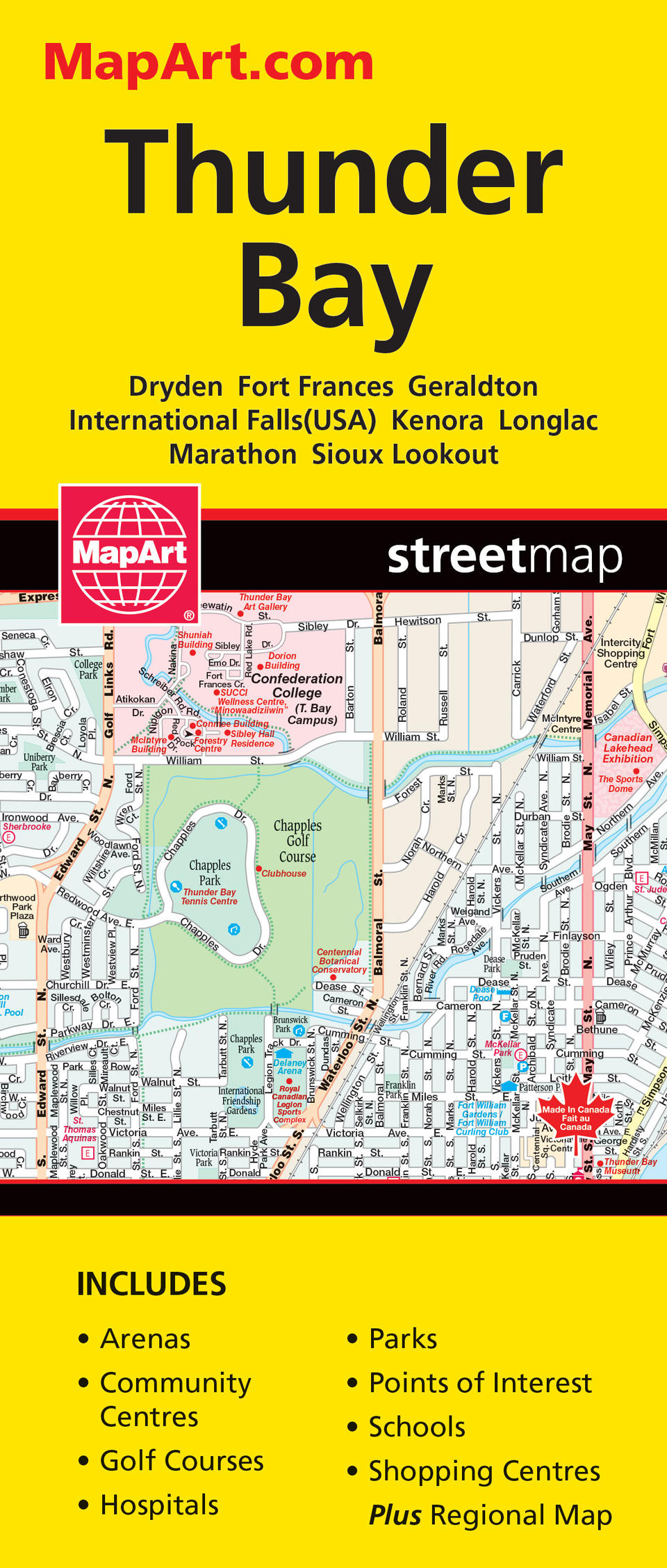
Thunder Bay Folded Map
- Publisher
- MapArt Publishing Corporation
- Initial publish date
- Sep 2020
- Category
- Atlases
-
Sheet map, folded
- ISBN
- 9781554861606
- Publish Date
- Sep 2020
- List Price
- $5.95
Add it to your shelf
Where to buy it
Description
Folded maps have been the trusted standard for years, offering unbeatable accuracy and reliability at a great price. Detailed indices make for quick and easy location of destinations. The folded map of Thunder Bay includes detailed city mapping at 1:25,000/1:30,000 of Dryden, Fort Frances, Geraldton, International Falls?(USA), Kenora, Longlac, Marathon, Sioux Lookout and Thunder Bay. A city map legend, city indexes and a regional map at 1:1,725,000 is also included. City map features include major roads, secondary roads, main thoroughfares, minor streets, lanes / private streets, one way streets, railways, border crossings, international boundaries, municipal boundaries, recreation trails, parks / conservation areas, golf courses, commercial areas, cemeteries, institutional areas, industrial areas, special attraction areas, Indian reserves, National Defence, hospitals, tourist information centres, police stations, fire halls, municipal / regional buildings, courthouses, libraries, points of interest, beer stores, liquor stores, casinos, marinas / yacht clubs, arenas, community /recreation centres, pools, baseball, soccer, tennis, skiing, campgrounds, public and catholic schools. Proudly made in Canada!
Folded: 10.2 x 23.5 cm (4 x 9.25 inches) Unfolded: 68.6 x 99.7 cm (27 x 39.25 inches)
Provinces/Territories: Ontario


